According to the Heritage Act, 1995, ‘landscape’ includes areas, sites, vistas and features of significant scenic, archaeological, geological, historical, ecological or other scientific interest. The Heritage Council’s vision is that the Irish landscape will be a dynamic, living landscape, one which accommodates the physical and spiritual needs of people, with the needs of nature in a harmonious manner, and as a result, bring long-term benefits to both.
The current Offaly County Development Plan is a key document in how the landscape of Offaly is managed and planned for, setting out objectives and policies.
In 2005 the Discovery Programme drew up a report on the Historical Landscape Character of Offaly, please see “Offaly, Historic Landscape Characterisation” by Anthony Corns and Margaret Murphy of the Discovery Programme.
In 2006 the concept of Historic Landscape Character Assessment was piloted in Killeigh. This is a method by which a detailed holistic study of the historical development and environmental significance of an area is undertaken. The technique presents an overview of the physical, natural, human, and cultural heritage of an area with specific reference to the interaction between the various elements. Please see “Killeigh Historic Landscape Character Assessment” prepared for Offaly County Council by the Dublin Institute of Technology.
A Village Design Statement was facilitated by CAAS Consulting in 2002 with the community in Kilcormac. Please see the “Kilcormac Village Design Statement“. In 2003/2004 the community in Pollagh prepared a Village Design Statement assited by with Michael Cregan and Associates. Please see the “Pollagh Village Design Statement“.
Much work has been done nationally on village design statements since then and current guidance should be consulted. Click to view the Heritage Council Community-Led Village Design Statement Toolkit.
Public Realm Plans
Public realm is a broad term used to describe the form and use of outdooor areas that are accessible to the public. This includes streets, squares, paths, parks and car parks, thus accounting for a large percentage of the town’s land mass and greatly influencing the way in which it looks and functions.
In 2008/2009 the Birr Public Realm Plan was completed by the Paul Hogarth Company. Birr Public Realm Plan. This plan has set out the framework for work in Birr town.
In 2020/2021 The Paul Hogarth Company were invited back to review the plan, Birr Public Realm Plan Addendum 2021 by the Paul Hogarth Company.
In 2018 the Banagher Development Group commissioned to inform future works. The study was undertaken by Howley Hayes architects. This was amended and updated in 2022. The Banagher Conservation Plan 2022 (revised).
In 2012, a one day work shop to examine the Public Realm in Geashill was carried out. The Geashill Public Realm Document 2012.

Through the 2013 Engage with Architecture project there was the partnership between architects and local communities for the Mapping Towns Project. This brought out interesting information about vacancy/occupancy rates in 2013 and also the continuity of form in settlements.
Daingean Mapping Towns – Patrick Little of Axis Architecture worked with Daingean Development.
Banagher, Mapping Occupancy and Uses on the Main Street 2013 by Fran Moran.
Town Trail and Streetscape
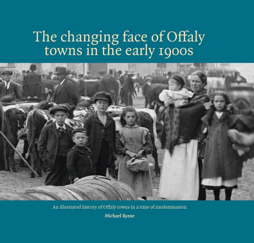
In 2024 Offaly History published ‘The Changing Face of Offaly Towns in the early 1900s’ by Michael Byrne. This book can be accessed in your local library, purchased from Offaly History’s shop on Bury Quay or online https://www.offalyhistory.com/shop/books/the-changing-face-of-offaly-towns-in-the-early-1900s
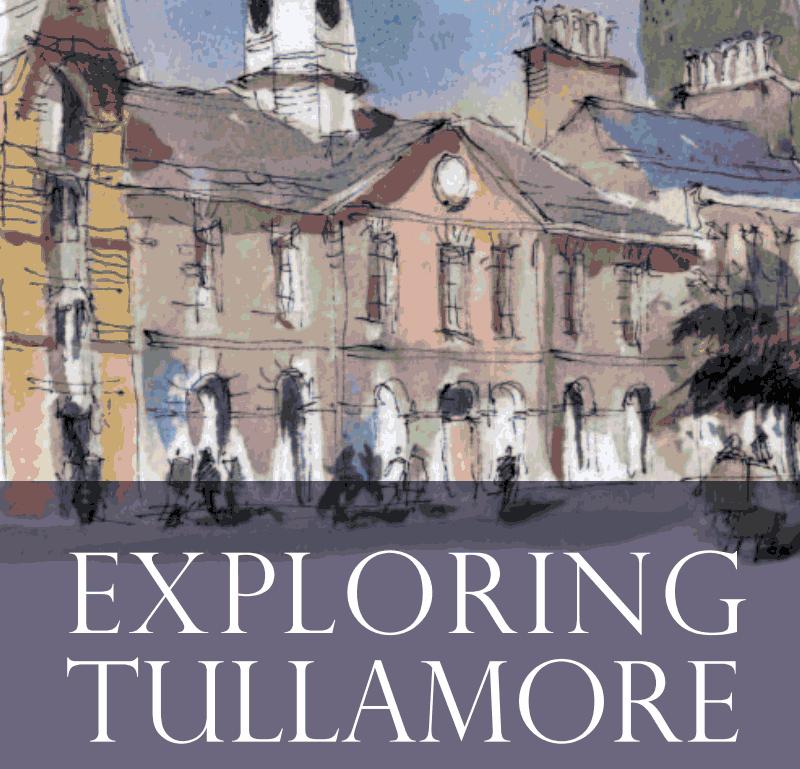
Offaly History have carried out considerable research into the streetscapes of Tullamore and Birr which can be found on their blog page https://offalyhistoryblog.com/ and on their YouTube channel, as some of their work seen below.
Exploring High Street, Tullamore: in the Living in Town series
These videos are made by Offaly Heritage with funding from The Heritage Council and Offaly County Council.
Town Trails
Edenderry Heritage Trail Audio Guide – https://www.abartaheritage.ie/edenderry-heritage-trail-audio-guide/
Kilcormac Heritage Trail Audio Guide – https://www.abartaheritage.ie/kilcormac-heritage-trail/
Tullamore Town Trail – to view the Tullamore Town Trail click here
Birr Town Trail – to view the Birr Town Trail click here